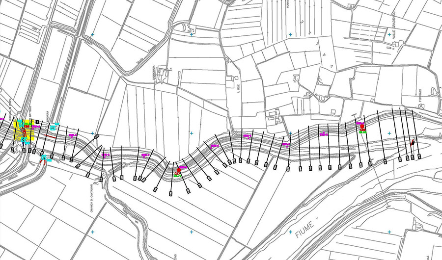
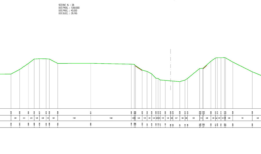
Extension: 8,6 Km
average width of the riverbed: 30 meters
average width of the river bank: 60 meters
level difference: 7,50 meters
riverbank slope riverfront: 5/7 (30%)
riverbank slop: 1/1 (50%)
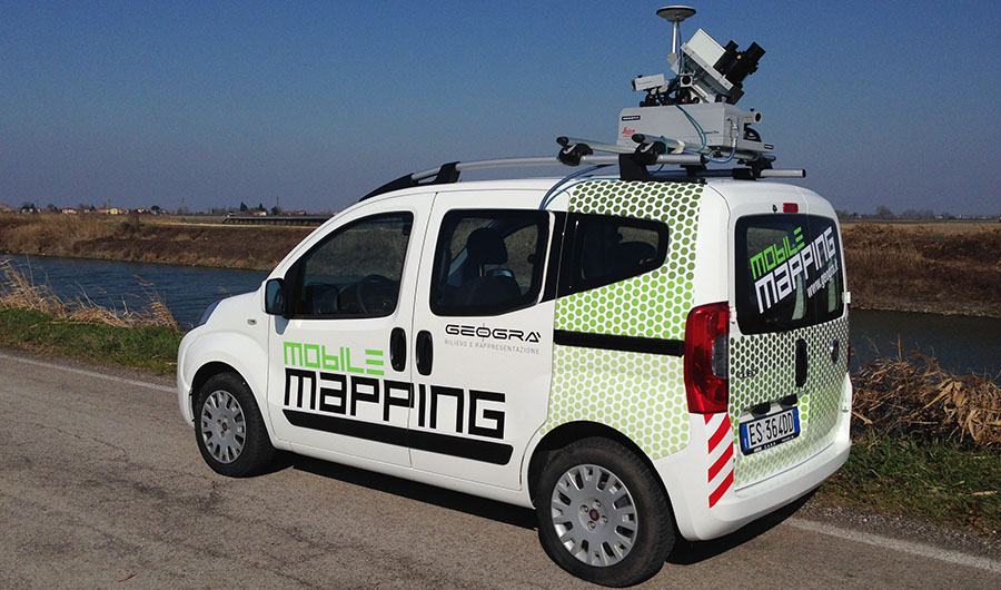
SURVEY PROCEDURE
GPS traditional survey in RTK connection with Italpos net
Mobile survey: links vertex with Italpos net; registration data with epoch at seconds for trajectory elaboration data.
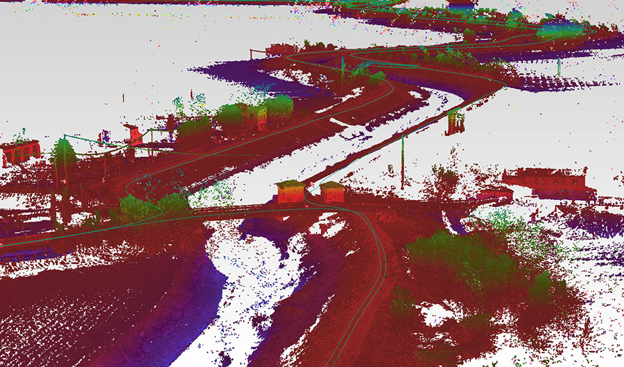
survey extension 24 km, points acquired 107 milions; time spend 1 hour. (Excluding preparation time).
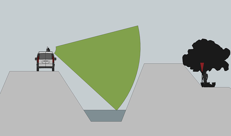
ADVANTAGE OF THE MOBILE SURVEY
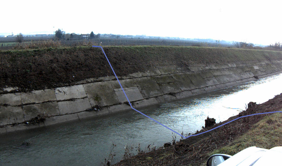
Easy acquisistion: you can reach parts difficult to detect with traditional mode.
Fast acquisition: 1 hour and 30 minutes per 24 km.
Density and uniformity: the huge amount of points can describe perfectly the surveyed places, you can choose in post processing the position of the crossing sections near curves (landslides, materials change, slopes)
Configurable coordinate system:you can manage the points in a defined system of coordinates and change it in post-processing, for deliver the work in accordance with the with the client.